

Precision Agriculture & Turf Survey
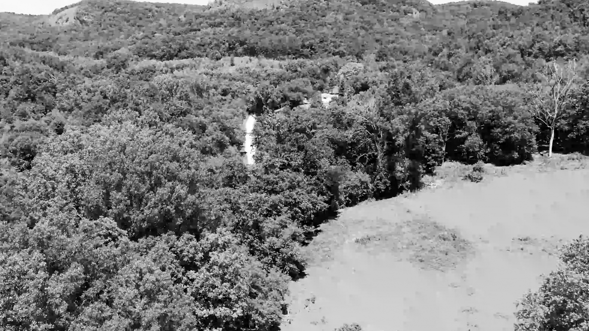
RightWay Drones provides a complete Drone Agriculture services including RGB, Thermal IR, and NDVI imaging. Remove inefficiency and inaccuracy by monitoring crop fields with a drone. Crop health can be identified and determined quickly to resolve and prevent damage and maximize yield.
We provide you with a topographic land contour surveys for irrigation design. We also help identify plant health issues early and spot issues with irrigation coverage and help to improve crop load estimates.
RightWay Drones also provides Aerial Photography & Video as an indispensable tool for Golf Course Grounds Keepers. This helps to efficiently maintain better course turf conditions. Drones provide high resolution images of an a golf course in a fraction of the time it takes to handle otherwise.
Our packages
With our price packages you've got a one-stop-shop for photos and videos. Take a look, select the best fit for you and let's get started! These packages are the simplest, fastest approach to getting the support you need for your next project.
Give us the time and place, and we'll handle the rest!
All packages include a 0:45 – 1:20 min professionally edited video with music and animated transitions.